

LIVING IN HOUSTON
A Houston ZIP code is a mail-delivery route. It is not a neighborhood, not a school district, and not a flood zone. That is the sentence I wish more “best Houston ZIP codes” lists led with — because 41 percent of Greater Houston ZIP codes contain more than one school district, 37 sit in more than one county, and flood risk is decided at the address, by elevation and watershed, not by the number on the mailbox.
I’m Eddie Weir, a REALTOR® with REMAX Signature in Greater Houston. I got tired of sending buyers a shrug and a list of 770xx codes, so I built five new pages that actually answer the questions people type. They live under Resources: a ZIP code map of all 252 Greater Houston ZIPs, a school-district match, a flood-zone measure, a MUD map, and a “best for what?” comparison across 204 ZIPs with real Q3 2026 listing data.
Why isn’t a Houston ZIP code enough to pick a neighborhood?
Because the U.S. Postal Service drew these lines to move mail, not to describe how people live. A single ZIP can contain parts of Houston, an incorporated village, and unincorporated county land at the same time. 77024 covers Houston plus Piney Point Village and Hunters Creek Village — three municipalities. Two houses on the same ZIP can feed different school districts. Flood maps ignore postal routes entirely.
That is why most ZIP lists online are a dead end. They tell you 77024 exists. They do not tell you it is Memorial, that it spans three villages, or that the current median asking price for a house there is $3,545,000 across 66 active single-family listings, per Houston Association of REALTORS® MLS in Q3 2026.
So I built the pages the other way around. Every row names the cities the ZIP actually covers, flags the county it sits in, and — where I have written one — links to the neighborhood guide. The five pages sit together in Resources. Here is what each one is for.
| Page | What it answers | The number that matters |
|---|---|---|
| 1. Houston ZIP Code Map | Which cities and counties each ZIP actually covers, and what a house there is listed at. | 252 ZIPs · 9 counties · 22 neighborhood guides |
| 2. ZIP Codes by School District | Which districts serve each ZIP — and which ZIPs are split. | 103 of 252 ZIPs (41%) contain more than one district |
| 3. Flood Zones by ZIP | What share of each ZIP’s land FEMA maps inside a high-risk flood zone. | 76 ZIPs at 30% or more · 26% metro average |
| 4. MUDs by ZIP | Where Municipal Utility Districts sit, so you know when to ask about the tax stack. | 1,254 MUDs · 77494 contains 36 of them |
| 5. Best Houston ZIP Codes | Five measures that actually differ — no fake ranking. | 204 ZIPs compared · 37,018 active houses · $339,950 pool median |
What does the new Houston ZIP code map actually show?
All 252 Greater Houston ZIP codes across nine counties — Harris, Fort Bend, Montgomery, Galveston, Brazoria, Liberty, Austin, Chambers, and Waller — with the cities each one actually covers and the median asking price of houses actively for sale there. Boundaries come from U.S. Census 2020 ZCTA relationship files. Prices come from Houston Association of REALTORS® MLS, single-family only, vacant lots and condos stripped out so the number is houses, not the mix around them.
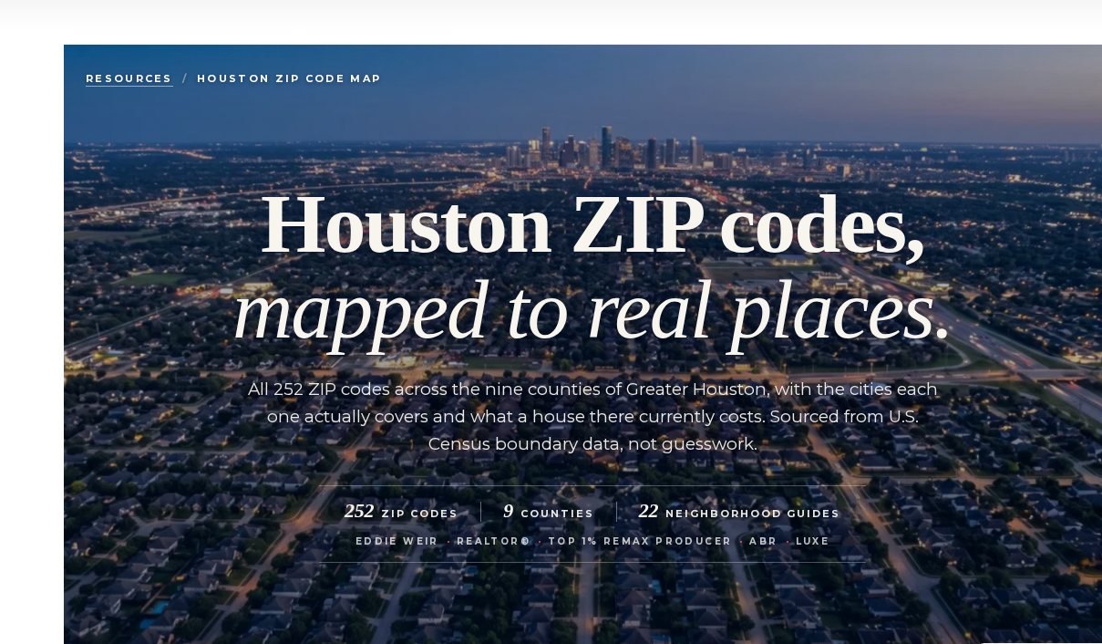
Thirty-seven of those 252 ZIPs sit in more than one county. That changes which appraisal district assesses the home and where you file a homestead exemption. 77493 is a useful example at the other end of the scale: Katy and Houston, crossing Waller and Fort Bend, 1,257 houses for sale, median list $393,820. The map is the starting filter. The next four pages are why it should not be the last one.
Do Houston ZIP codes determine school districts?
No. 103 of the 252 Greater Houston ZIP codes — 41 percent — contain more than one school district. Searching a ZIP because you heard “the schools are good” fails almost half the time. Two houses on the same street, same ZIP, can feed different districts entirely. The last step is always confirming the attendance zone for the exact address.
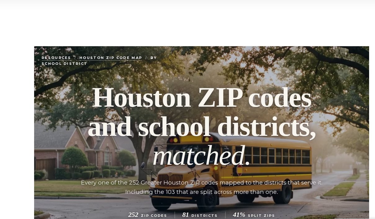
The page maps all 252 ZIPs to 81 districts and flags every split. Houston ISD touches the most, at 62 ZIP codes. That does not mean it serves all of each one. 77024, in Memorial, is split between Spring Branch ISD and Houston ISD. 77584 spans Pearland ISD and Alvin ISD. Even a “single-district” ZIP like 77494 (Katy ISD in this data) does not tell you which campus. For the district-level notes, start with Houston school districts.
ZIP is a filter. The address is the answer.
Districts redraw attendance zones as schools open and neighborhoods fill in. The postal map does not move with them. Use the ZIP page to narrow the search. Then confirm the address with the district’s own lookup before you write an offer.
Which Houston ZIP codes have the most flood risk?
By share of land FEMA maps inside a Special Flood Hazard Area, the high end is coastal and bayou-adjacent: 77481 (Thompsons) at 99%, then a run of Galveston and Bolivar ZIPs in the 90s. The metro average is 26%. Seventy-six of 252 ZIPs have 30 percent or more of their land in a high-risk zone. Twenty-three are under 5%. A few Inner Loop ZIPs, including 77006 and 77098, measure 0% mapped high-risk land.
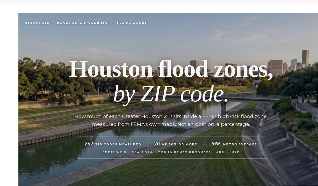
One thing that page is not: a prediction that any ZIP floods. Within a single ZIP some homes sit in the zone and most usually do not. A high number does not make a ZIP a bad place to live — Bellaire (77401) is 82% mapped high-risk land and is still one of the most sought-after pockets in the metro. It means diligence at the address is not optional, and that flood insurance belongs in the budget before the offer, not after. For the buyer walk-through, use the flood zone buyer guide and the 2026 flood-zone facts post.
Want a human read on a specific ZIP?
I will pull the district, the flood map, the MUD stack, and the current comps for the addresses you actually care about.
Book a 30-minute consultHow do MUDs change what you pay in a Houston ZIP?
A Municipal Utility District is how much of suburban Houston got built. The district issues bonds for water, sewer, and drainage, then levies a property tax to repay them. There are 1,254 MUDs in this metro, part of 1,569 water districts overall. Twenty-eight ZIP codes have more than half their land inside one. 77494 alone contains 36. One hundred twenty-three of the 252 ZIPs have no MUD at all — mostly inside Houston city limits and the older incorporated suburbs.
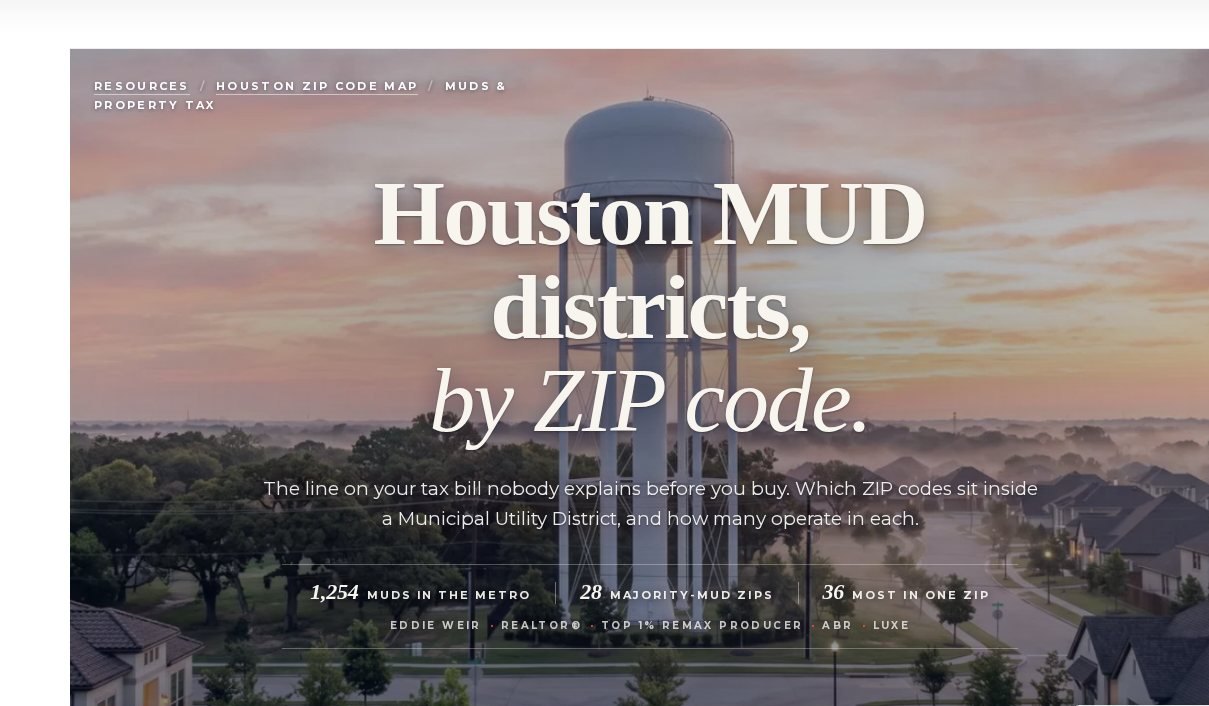
What that page will not do is quote you a tax rate per ZIP, because no honest source can. Your rate is the sum of the entities layered over your specific parcel — county, school district, community college, city if incorporated, then the MUD. Young districts carrying fresh debt often levy substantially more than mature ones a mile away. Rates fall as bonds are repaid. A MUD is not a scam and it is not a red flag. It is real money, and it belongs in the budget before you write the offer. The MUD buyer guide walks the tax stack. If you already own, the property tax protest page covers how to challenge the appraisal.
Is there a best Houston ZIP code?
No — and anyone who hands you one is guessing. “Best” depends on what you are optimizing for: flood exposure, carrying cost, school-district structure, how much choice is on the market, or what a house actually costs. I compared the 204 Greater Houston ZIP codes with at least 15 active single-family listings across those five measures, using Q3 2026 Houston Association of REALTORS® MLS data. The pool holds 37,018 houses. The median list price across it is $339,950.
Lowest mapped flood exposure clusters in a handful of Inner Loop ZIPs (77006, 77098, 77054 at 0%). Highest inventory sits on the growth edge — 77493 has 1,257 houses for sale. Highest asking prices sit in Memorial and the Inner Loop villages. None of those facts tells you where to live. They tell you which trade you are making. Open the live MLS search when you are ready to look at houses instead of ZIPs.
How do you use all five Houston ZIP code pages together?
Start with the question you actually have, not with a ranked list. Orient on the map. Check whether the ZIP is one of the 103 school-district splits. Price the water on the flood page, then pull the FEMA map for the house. Price the tax stack on the MUD page, then confirm the parcel with the appraisal district. Weigh the trade on best for what. That sequence is the opposite of how most people search. Most people start with a price and a ZIP they heard at dinner. The dinner ZIP is fine as a starting filter. It is a terrible finishing one.
Frequently asked questions: Houston ZIP codes
How many ZIP codes does Houston have?
Greater Houston covers 252 ZIP codes across nine counties: Harris, Fort Bend, Montgomery, Galveston, Brazoria, Liberty, Austin, Chambers, and Waller. How many of those count as “Houston” depends on whether you mean city limits, inside the Beltway, or the whole metro — which is why the map lists all of them.
What is the main ZIP code for Houston, Texas?
77002 covers Downtown Houston and is the one most often treated as the city’s central ZIP. There is no single official ZIP for a city this size, and 77002 is a small downtown footprint rather than a representative one.
Can I tell which school district serves a house from its ZIP code?
Sometimes, but not reliably. 103 of 252 Greater Houston ZIP codes — 41 percent — contain more than one district. Use the ZIP to narrow the search, then confirm the address with the district. The full match is on Houston ZIP codes by school district.
Does my ZIP code tell me if a home floods?
No. Flood risk follows FEMA zone, elevation, and watershed. Two homes on the same street can carry different zones and very different insurance costs. 76 of 252 ZIPs have 30 percent or more of their land in a FEMA high-risk zone; 23 are under 5%. Check the house, not just the ZIP, on flood zones by ZIP.
Which Houston ZIP codes have the most MUDs?
77494 contains the most, at 36 districts, followed by other fast-growth suburban ZIPs in Katy, Cypress, Fulshear, and the north corridor. 28 ZIPs have more than half their land inside a MUD. 123 ZIPs have none. See MUDs by ZIP.
Is there a single best ZIP code in Houston?
No. The honest version is “best for what?” I compared 204 ZIPs with at least 15 active single-family listings across flood exposure, MUD coverage, school-district structure, inventory, and median list price. The pool median is $339,950. Rank them against your commute, budget, and schools on the best Houston ZIP codes page.
Why does the median list price here differ from Zillow or Redfin?
The figures on these pages are median asking prices for single-family homes actively on the market in that ZIP, from Houston Association of REALTORS® MLS, Q3 2026. Vacant lots, acreage, condos, and townhomes are excluded. Sold prices are different data. If you want to know what a specific home is genuinely worth, that is a comparative market analysis, and I am glad to run one.
Where do I find all five pages later?
Under Resources on eddieweir.com: Houston ZIP Code Map, Houston ZIP Codes by School District, Houston Flood Zones by ZIP, Houston MUDs by ZIP, and Best Houston ZIP Codes. Bookmark the hub. The rest of the site links back there.
The bottom line
I did not build these pages so a search engine would like me. I built them because the ZIP-code question comes up on almost every first call, and the honest answer has always been longer than a listicle. A Houston ZIP is a useful starting filter and a poor finishing one. These five pages give you the filter — cities, districts, flood, MUDs, and price — so the last mile can be the house, the elevation, and the tax bill, which is where the decision actually lives.
Start with the ZIP. Finish with the house.
I will walk the five pages with you, then pull the address-level flood map, the district lookup, and the comps.
Open the Houston buyer guideAbout Eddie Weir
I’m Eddie Weir, a top 1% REALTOR® with REMAX Signature in Greater Houston. I hold the ABR (Accredited Buyer’s Representative) and LUXE designations and bring a corporate analytics and strategy background to residential real estate. I help buyers and sellers across the entire metro — Harris, Brazoria, Fort Bend, and Montgomery counties — make decisions with the full numbers in front of them. More about how I work.
“A Houston ZIP code is a useful starting filter and a poor finishing one. These five pages give you the filter.”
— Eddie Weir, REALTOR®, ABR, LUXE | REMAX Signature
Sources: ZIP boundaries, counties, and place names: U.S. Census Bureau 2020 ZCTA relationship files. School districts: U.S. Census TIGERweb Unified School Districts. Flood zones: FEMA National Flood Hazard Layer, Special Flood Hazard Areas only. Water districts: Texas Commission on Environmental Quality Water Districts layer. Market figures: Houston Association of REALTORS® MLS, active single-family listings, Q3 2026 (vacant lots, acreage, condos, and townhomes excluded). Neighborhood names: City of Houston Super Neighborhoods. Page-level detail on the map, schools, flood, MUDs, and best for what.
Market data per Houston Association of REALTORS® MLS and the sources above. Figures are point-in-time and will be revised. Informational only, no guarantee of outcomes. Flood percentages describe mapped land area, not a prediction that any property will flood, and are not insurance or engineering advice. MUD coverage describes mapped district land area and is not a tax rate. Always confirm the flood map, school attendance zone, and taxing entities for a specific address. If your home is currently listed with a REALTOR®, please disregard.